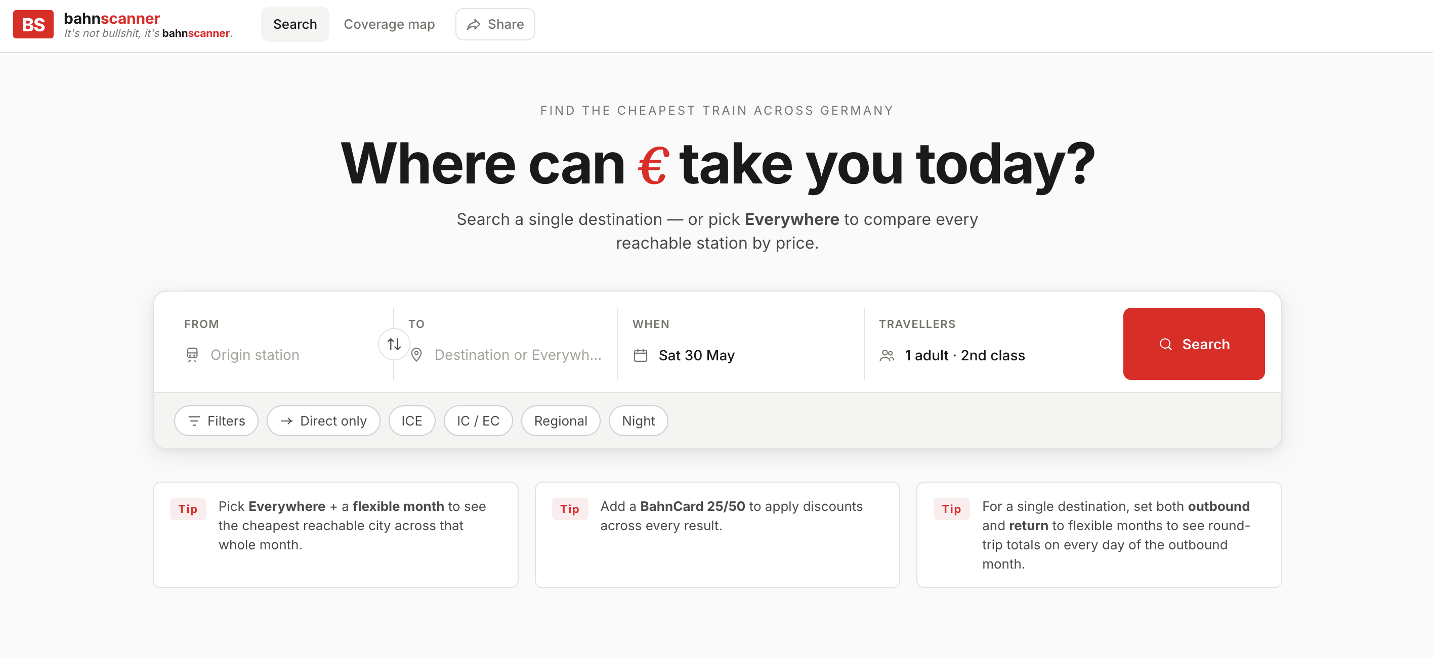
 Visit bahnscanner.de ↗
Engineer & tech consultant.
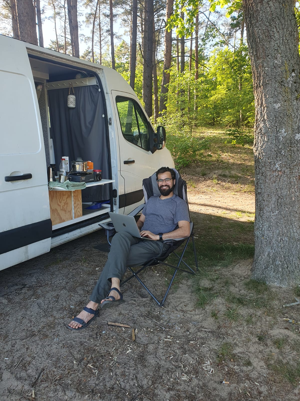
I'm Naman Jain - a software engineer with seven years of experience scaling data-intensive applications and backend infrastructure. I work at the intersection of geospatial data, machine learning and product engineering, and I'm currently taking on part-time freelance and consulting work.
- Based
- Berlin, Germany
- Origin
- Jaipur, India
- Currently
- Tech Lead, Marble Imaging
- Domains
- Geospatial · Backend · AI
01
About
I thrive in bridging the gap between technical requirements and product strategy, having led teams to ship robust, high-impact features.
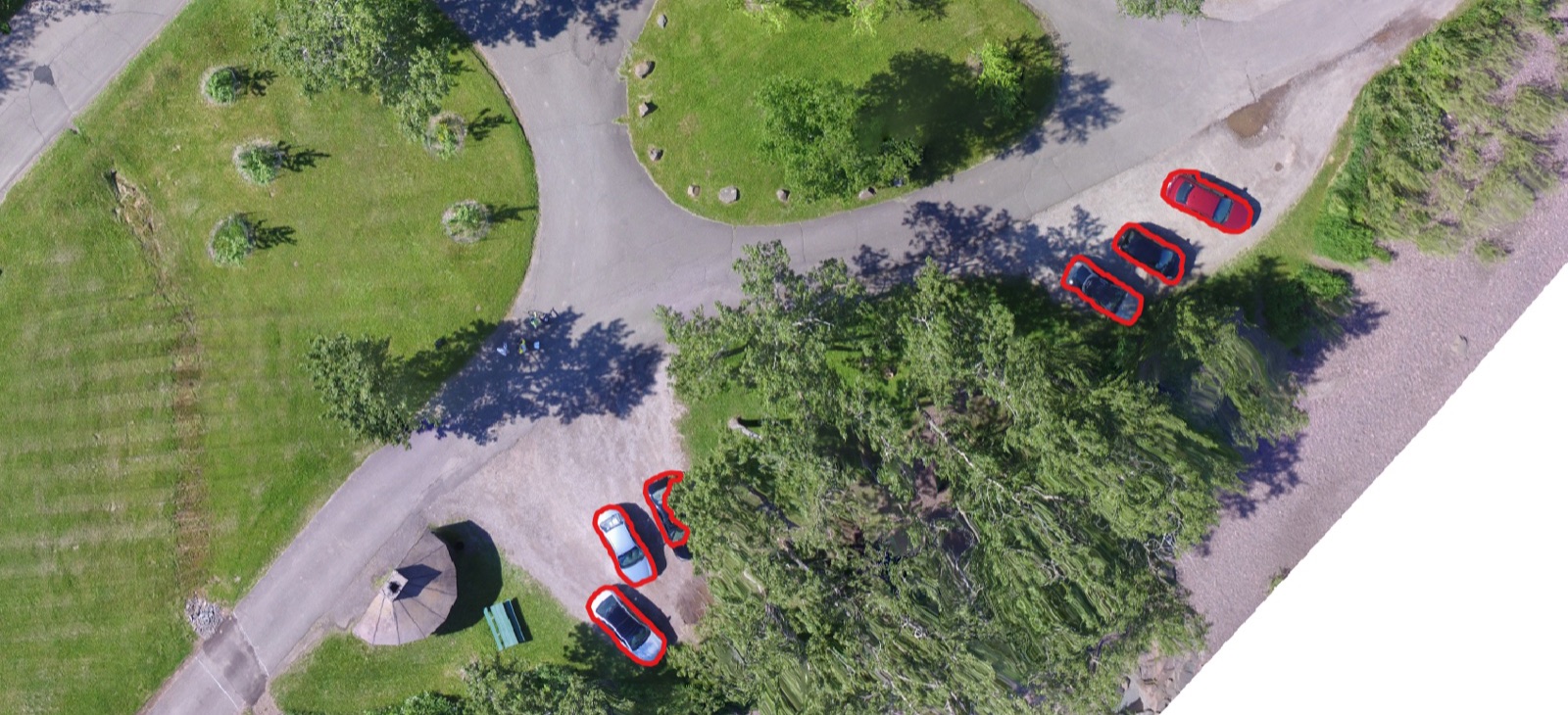
I grew up in Jaipur, India, studied engineering at IIT Gandhinagar, and have called Berlin home for the past five years. My background is in Python development - particularly in geospatial domains, but I work across cloud infrastructure, data pipelines and applied computer vision. Earlier in my career I built ML systems for object detection and segmentation; today I architect microservices, mentor engineers, and design clean, maintainable systems.
Outside of client work I write open-source tooling, speak at conferences like FOSS4G, and tinker on side projects - from a Deutsche Bahn fare scanner running on a Raspberry Pi to a sea-level rise simulator.
When I'm not at the laptop you'll usually find me on a bike somewhere, or playing ping pong with friends.
02
Selected work
Services
I take on part-time engagements where deep technical work and clear product thinking are required.
-
i.
Geospatial engineering
Designing data pipelines and services around STAC, COG, Sentinel-2, GDAL/Rasterio and PostGIS. Vendor-agnostic ingestion, catalog systems, tiling, and reproducible ML workflows for aerial imagery.
-
ii.
Backend architecture
Python services with FastAPI on GCP / Kubernetes. Microservice design, observability with Sentry & Grafana, CI/CD with GitHub Actions and Terraform, and the unglamorous platform work that makes products durable.
-
iii.
Applied computer vision
Object detection, segmentation and inference pipelines with PyTorch and TensorFlow - drawing on prior work delivering CV systems at scale in production.
-
iv.
Technical consulting
Architectural reviews, technical strategy, hiring support and engineering mentorship - pairing with founders and product teams to bridge technical and product decisions.
04
Experience
Seven years across early-stage startups and growth-stage companies.
-
2024 - Present Berlin
Tech Lead
Marble Imaging
- Translate product requirements into technical tickets, plan sprints and assign work across the engineering team.
- Architect microservices and drive product-led engineering initiatives connecting UX and infrastructure.
- Design and implement core backend services handling orders, payments and automated data processing.
- Establish internal best practices for programming, CI/CD and mentoring across the team.
-
2022 - 2024 Berlin
Data Science Engineer
UP42 GmbH
- Developed and maintained internal Python SDKs and microservices powering customer data workflows.
- Architected a vendor-agnostic metadata ingestion service enabling near real-time catalog updates.
- Integrated multiple external data sources via robust adapters and standardised interfaces.
- Key contributor to the open-source libraries up42-py and image-similarity-measures.
-
2021 - 2022 Jaipur (remote)
Freelance Software Engineer
Spacesense AI
- Engineered Sentinel-2 data delivery pipelines and implemented Cloud Optimized GeoTIFF (COG) functionality.
- Designed reproducible ML pipelines for aerial imagery analysis, enabling rapid experimentation and model evaluation.
-
2019 - 2021 Delhi
Computer Vision Engineer
Attentive AI
- Built ML-powered systems for object detection and segmentation using PyTorch and TensorFlow.
- Contributed to backend APIs and data pipelines delivering inference at scale.
- Supported hiring and mentoring during the company's early growth phase.
Talks & writing
-
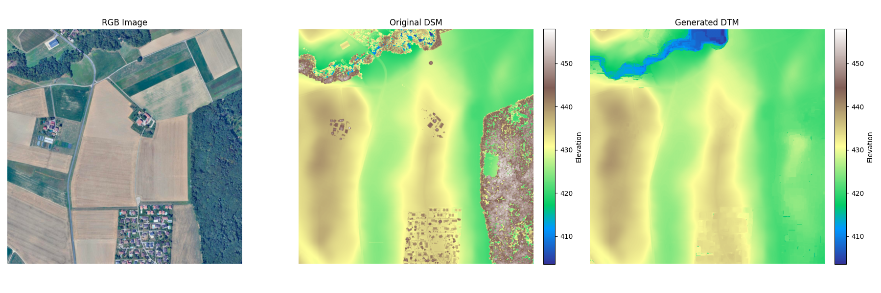
dsm2dtm: Generate DTM from DSM for free
Watch the talk ↗ -
Standardised data management with STAC
Read the post ↗ -
Bringing STAC to UP42 storage: lessons learned
Read the article ↗ -
Extracting channel heads from DEMs using machine learning
View presentation ↗
Skills
- Geospatial
- GDAL · Rasterio · QGIS · STAC · COG · GeoPandas · Shapely
- Languages & data
- Python · SQL (PostgreSQL) · FastAPI · Pandas · NumPy · PyTorch · Bash
- Cloud & infrastructure
- GCP · Kubernetes · Terraform · Docker · GitHub Actions · CI/CD · Sentry · Grafana
- Leadership & strategy
- System design · Technical strategy · Team leadership · Mentoring · Stakeholder management
Get in touch
For freelance enquiries, consulting work or a friendly conversation about geospatial systems - the inbox is open.